High diversity of Holocene coastal forms, including double-tombolo formations, seawalls, salt marshes, beach meadows, beach lakes and cromodd formations. Significantly active coastal cliff with Weichselian deposits.
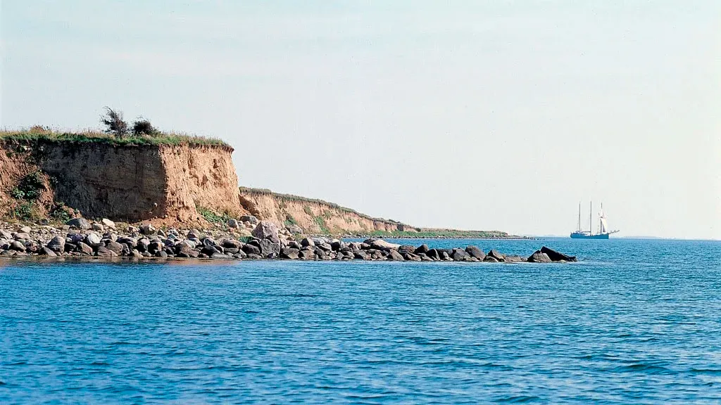
Dejrø is formed around two small moraine cores (former small islands in the Stone Age sea) linked by Holocene marine foreland formations. Small active coastal cliff on the north coast. The southern part of the island is a well-developed, ending in a long, narrow retode.
The distinct, familiar southeast-northwest orientation of the glacial landscape elements reflects the movement pattern of the last ice streams in the area 17-19,000 years ago.


